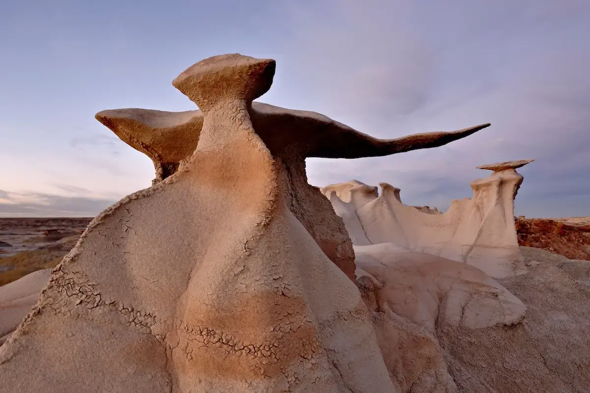
Surreal Landscapes of the American Southwest Rival Martian Terrain
Geology That Defies Imagination
The remote deserts of Arizona, Utah, and New Mexico host terrain that looks more like another planet than Earth. In late June 2026, hikers, photographers, and scientists reported frozen stone formations, wind‑carved arches, and vivid mineral layers that echo images sent back from Mars rovers.
Latest news
 U.S. Ski Resorts Skip Ottawa Convention Amid Canadian Tourism Slump
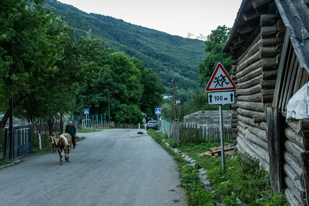 Exploring the Untamed Beauty of Northern Louisiana
 Beyond the Capital: British Tourism Chiefs Target Indian Visitors
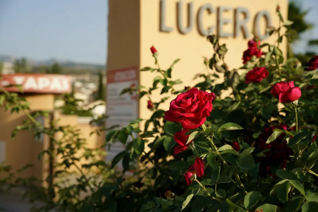 19 Unique Things to Do in Cape May, NJ
Geologists say the region’s ancient sedimentary layers were deposited over 250 million years ago, then sculpted by wind and occasional flash floods. The resulting shapes—towering spires, ripple‑like dunes, and multicolored badlands—create an otherworldly silence broken only by gusts that echo through narrow canyons. Researchers attribute the surreal appearance to a combination of volcanic ash, evaporite deposits, and extreme erosion, which together preserve a snapshot of Earth’s deep past.
The Navajo Nation’s „Monument Valley” showcases sandstone buttes that rise like alien monoliths against a turquoise sky. Nearby, the „Wave” in Arizona’s Coyote Buttes displays undulating, rainbow‑hued rock that scientists link to ancient sand dunes hardened by mineral-rich groundwater. Dr. Lena Ortiz of the University of Arizona explains, „These formations are natural laboratories. Their layered colors record climate shifts, while their shapes reveal the power of wind over millennia.”
Can These Earthly Sites Teach Us About Mars?
In New Mexico’s „White Sands,” gypsum crystals reflect sunlight, creating a blinding white expanse that mirrors the polar caps of Mars. The area’s low humidity and high albedo intensify temperature swings, offering a rare Earth analog for testing rover equipment. NASA’s Desert Research Station recently completed field trials here, noting that the terrain’s fine-grained surface mimics the challenges of navigating Martian regolith.
Scientists argue that studying the Southwest’s extreme environments can inform future Mars missions. The region’s microclimates, where moisture condenses on rock faces at night, provide clues about potential water sources on the Red Planet. „If life can cling to these harsh deserts, it expands the habitability zone we consider for Mars,” says astrobiologist Dr. Raj Patel.
Moreover, the wind‑driven erosion patterns help engineers design more durable rover wheels and landing pads. Tests on the „Badlands” of South Dakota, though outside the Southwest, have already influenced the construction of NASA’s next‑generation mobility platforms. By replicating Martian dust storms with desert gusts, researchers refine algorithms that predict rover traction loss, improving mission safety.
As climate change reshapes desert ecosystems, the preservation of these surreal landscapes becomes uncertain. Increased rainfall could accelerate erosion, while rising temperatures may alter wind patterns, potentially erasing some of the most iconic formations. Conservation groups urge federal agencies to designate additional protected areas, ensuring that both scientific study and public wonder can continue.
Frequently Asked Questions
Why do the Southwest’s rocks appear multicolored? Mineral impurities, such as iron oxides and copper sulfates, stain the sediment layers. Weathering and oxidation over millions of years amplify these hues, creating vivid stripes and patches.
Are visitors allowed to explore these alien-like sites? Most locations are open to the public, but many require permits or guided tours to protect fragile ecosystems and respect indigenous lands.
How do these terrains help prepare for Mars exploration? They provide real‑world analogs for Martian soil composition, temperature extremes, and wind erosion, allowing engineers to test equipment and scientists to study potential habitability in conditions similar to those on Mars.
Content written by Marco Ricci for travel-good.com editorial team, AI-assisted.